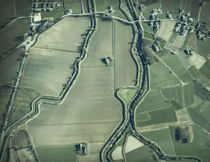
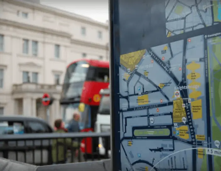
We tie together the explosive power of data with geospatial inferences for all your utilities and business expansion decisions in the most comprehensible manner.
Get a hold of your physical assets as we help you visualize and deduce critical location insights with leading GIS tools namely ArcGIS(ESRI), Open Source, Intergraph and GE’s Smallworld.
Visualize paper maps of utilities (power, water, gas), transport routes, forestries, household layouts, and stores in GIS formats.
Get well-defined location information and GIS vectors of streets, buildings, and parcels down to the exact latitudinal and longitudinal coordinates.
Scale, rotate, and transform both raster and vector data to different coordinate systems for better visualization and querying of spatial data.
Chart property boundaries and capture polygon boundary of buildings to optimize your efforts in public works, business planning, and taxations.
We’ll identify the best data model to represent your spatial data for you to efficiently retrieve, analyze, and manage data in your geodatabase.
Access digital formats of buildings and roads to plan utilities, telecommunication, and sewerage lines in areas of your interest.
Map geodata to target databases with attribute updates and feature alignments and reshape your geo information to rasters, vectors, polygons or XYZ coordinates.
We develop custom APIs and apps atop ArcGIS for you to play around with the software’s basic features and integrate geospatial intelligence to your business.
Finalized and purchased the perfect GIS software, so what next? We’ll help you understand and leverage the software’s key features and assist you in seeing analyzing spatial data.
Understand what the objective of deriving a particular GIS model is and see the relationships between the physical objects in a visual manner with our GIS analysis services.
Measure, picture, map, and model your target terrains, buildings, utilities, and urban infrastructure to plan and organize your business operations better. We offer a wide variety of photogrammetry services that enable you to evaluate and strategize your efforts on specific points of interest.
Aerial triangulation
Orthophoto generation and rectification
Digital elevation models
3D modeling
Terrain mapping and surveying are being redefined by LiDar technology achieving impeccable speed, density, and accuracy of topographical data. Our LiDar data processing services facilitate the precise interpretation of LiDar data that aids in clear business decisions.
Bare earth model and power line network classification
LAS-based 3D building modeling
Digitization of LiDar data
Feature extraction from LAS files
Utilities
Telecommunication
Natural resources
Government & Public sectors
Transportation
Integrate smoothly with the latest GIS tools & technologies.
Enable proactive asset creation and management system.
Adhere to government and regulatory compliance.
Achieve smarter and more precise grid vision.
Mobius converted PDF images and AutoCAD drawings including water/sewer/storm network maps and associated attribute information to vector GIS representations thus transforming it into ESRI Data Model.Read More
Mobius was approached to accurately modify property boundaries thus positively impacting the workflow and producing the output in the desired digital format.Read More
Mobius enhanced the mapping of nuclear sites based on the new REPPIR determinations or re-determinations identified from 45 nuclear sites.Read More
We use cookies in this website to personalize the content we deliver, improve your overall website experience, and to analyze our traffic. On clicking “Okay” you agree to the terms specified with respect to cookies in our Privacy Policy but you can also opt-out at any time.